More Storms Possible Across Indiana Through Thursday
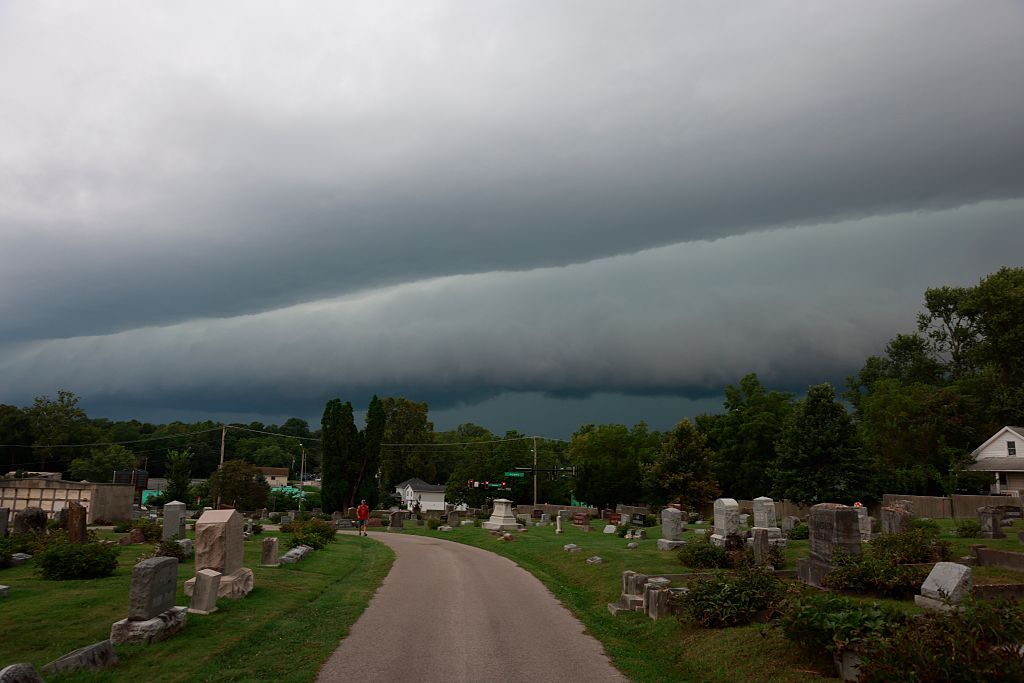
STATEWIDE — Indiana will stay hot and humid through the week, with additional chances for severe weather Wednesday and Thursday.
Tuesday’s storms brought wind gusts of 60 to 70 mph and toppled trees in parts of the area. Temperatures also climbed into the 90s, with the heat index near 100.
Kacie Fucson with the National Weather Service in Indianapolis says the threat of severe weather continues Wednesday.
“Indiana could see more wind and hail, and we still can’t rule out the threat of a tornado or two forming throughout the day.”
Heavy rain is another concern because the ground is already saturated.
“More rain is on the way. Once we’ve already got saturated grounds like we have, that just makes the threat for flooding much faster to achieve.”
Fucson says it will be difficult to know exactly where the strongest storms will develop until shortly before they form.
“A lot of these storms are based off a very small scale that we’re not gonna see until maybe a couple hours before it happens.”
Indianapolis is expected to reach the upper 80s Wednesday, with highs in the low to mid-80s Thursday and Friday. Fucson says there is still a chance for severe weather Thursday, while Friday’s storm chances are lower.
“It’s a little too soon to say exactly Friday, but we do have lower chances for precip on Friday as well.”
Fucson also reminded drivers not to use an overpass for shelter during severe weather.
“It becomes a wind tunnel under the overpass, so it’s actually more dangerous on multiple levels.”
If heavy rain makes it difficult to see, Fucson says drivers should slow down, use their hazard lights if necessary and take the nearest exit to find a safe place to wait out the storm.