NWS: Bitter Cold Follows Major Snowfall Across the State
INDIANAPOLIS — After a storm dumped nearly a foot of snow across the city and more than a foot along Interstate 70 from Bloomington to Columbus and Seymour, forecasters say Indiana’s focus now shifts from snowfall totals to dangerous cold.
Matt Ekhoff of the National Weather Service, speaking after the storm, said the snow is essentially done “for now,” but frigid air will dominate the forecast through the rest of the week and into the weekend.
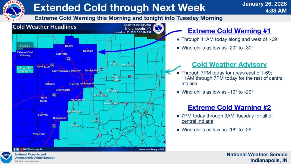
Low temperatures overnight are expected to range from zero to minus 5 degrees, Ekhoff said, with winds of 20 to 30 mph creating hazardous wind chills.
“The problem with tonight is the wind,” he said. “When you combine those temperatures with winds like that, wind chills can drop to minus 20 to minus 25.”
Ekhoff said the cold pattern is being driven by a jet stream that has sagged south across the middle of the country, allowing Arctic air to move freely into the region. The longer the jet stream remains displaced to the south, the longer the cold will linger.
Snow cover will also play a role. Ekhoff said the existing snowpack — expected to last at least a week and likely longer — will promote radiational cooling, especially later this week when skies clear and winds ease. That could allow temperatures to fall even lower than they otherwise would.
“If you like cold and snow, these are perfect conditions,” Ekhoff said. “If you don’t, you’re probably not going to have a good time.”
Forecasters warn that in extreme conditions, exposed skin can develop frostbite in as little as 10 to 30 minutes.
Light snow flurries are possible Wednesday and Thursday, Ekhoff said. A potential storm this weekend is expected to track far to the south and east, posing more of an East Coast concern than an Indiana one.


