Trees Down, Damage in Johnson County Following Severe Storms
JOHNSON COUNTY — Residents and emergency crews are working through the aftermath of a powerful storm system that battered central Indiana late Monday night into Tuesday morning.
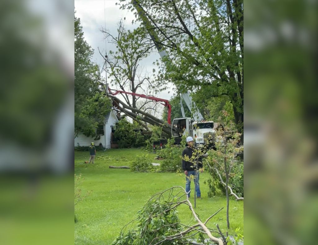
The damage is particularly more widespread in Johnson County, where a concentration of fallen trees, snapped power lines, and structural damage has led to significant disruptions.
Local officials report that the area surrounding Mullinix and Olive Branch Roads was hit especially hard. Overnight, several large trees fell onto homes, and multiple power lines were brought down, forcing street closures that remained in effect throughout Tuesday morning.
Crews spent the early daylight hours clearing debris and replacing downed street signs, while several major intersections were left without functioning traffic lights for a significant portion of the day.
The storm system brought intense wind gusts across the region, with local data recording a peak gust of 50 mph in Johnson County at approximately 11:00 p.m. However, neighboring counties experienced even more extreme conditions:
- Marion County: Recorded gusts as high as 71 mph.
- Greentown (Howard County): Recorded gusts of 70 mph.
- Greenwood Schools: Damage to the roof of Greenwood High School led to synchronous learning for students, while Westwood Elementary was forced into an e-learning day due to power outages.
In addition to wind damage, south-central Indiana received more than three inches of rain over a 24-hour period. This deluge has resulted in widespread areal flooding, causing streams and rivers to overflow into low-lying areas and roads.
The National Weather Service (NWS) deployed teams to Morgan, Johnson, and Rush counties, as well as Monroe and Bartholomew, to survey the damage firsthand. While several tornado warnings were triggered by radar-indicated rotation during the height of the storm, officials have not yet confirmed any actual tornado touchdowns.