NWS: Warm Temps; High Chance of Rain in Indiana
STATEWIDE — You should enjoy the spring-like air while it lasts, as a record-challenging warm spell is about to give way to a blustery winter reality check.
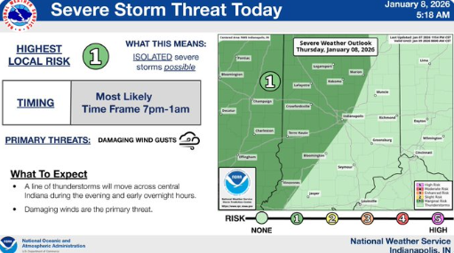
National Weather Service meteorologist Jason Puma says that temperatures are “probably topping out in the lower 60s, which is close to our record” both Thursday and Friday. However, the warmth comes with a price, as a powerful low-pressure system brings a 90% chance of rain Thursday night and gusts up to 35 mph. Puma warns that “if folks do have any outdoor decorations or any items that could be easily blown about, you will want to secure them Thursday night.”
The weekend marks a sharp turning point for the Circle City. Saturday’s high will struggle to reach 47 degrees before the true cold settles in on Sunday. Puma notes that by the end of the weekend, “we’ll be much closer to our seasonal normals with a high near 30 degrees on that day.” As that freezing air arrives, the rain could transition, and Puma says “we might see a few snow flurries or snow showers” to close out the weekend.
Looking ahead to next week, the weather settles into a more predictable January pattern. Monday is expected to be sunny with a high near 39, followed by a slight warming trend into Tuesday. However, the calm won’t last long, as Puma points out that by next Wednesday, the area faces another “40% chance of showers with a high near 40.”