NWS: Cold Air, Rain-to-Snow Mix Set to Hit Indiana
INDIANAPOLIS — Central and northern Indiana will stay dry through early evening before showers move in after dusk, forecaster Aaron Updike with the National Weather Service in Indianapolis said.
“We should remain dry until we get after dusk tonight,” Updike said. “We’re looking at right around the 8 p.m. to 10 p.m. timeframe for those showers to move in.”
Most of the rain will fall north of the I-70 corridor, including areas around Lafayette and Kokomo.
“The majority of those showers will be north of I-70, and the heaviest rain is going to be up toward Lafayette, Kokomo and farther north,” Updike said.
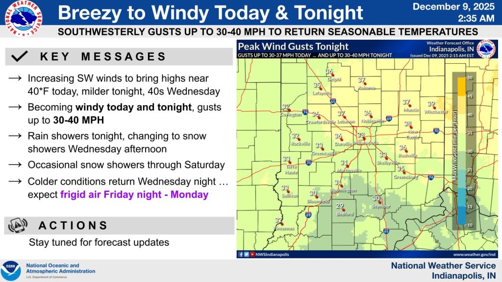
Even though it’s still fall on the calendar, temperatures will start to feel more like winter by Thursday.
“You’d be hard-pressed to tell,” Updike said. “We’re going to get a push of cold air tomorrow, arriving in the late morning into the early afternoon.”
That colder air could bring a brief rain-snow mix or scattered snow showers, though little to no accumulation is expected.
The first chance for measurable snow comes late Thursday night into Friday.
“We might get a little bit of a rain-snow mix or some snow showers tomorrow, but those really won’t accumulate too much,” Updike said. “If we’re looking toward accumulation, we’re looking at Thursday night, Friday and potentially over the weekend.”
At this point, he said, nothing looks especially high-impact.
“Nothing right now looks like it’s going to be super impactful, but a couple of inches here and there can cause some slick spots on roadways and just cause a headache overall,” he said.
Friday currently looks like the best chance for measurable snow, though confidence is low as models continue to shift.
“There’s still some uncertainty exactly where that’s going to set up,” Updike said. “It’s a little too early to have high confidence.”
Indianapolis usually averages 26 inches of snow each winter, a total the city hasn’t reached in several years. Last winter, the city came close with 20.5 inches.
“This year it looks like we’re going to be somewhere near normal to just above normal for snowfall,” Updike said.
Temperatures have also been well below average for early winter.
“We were looking at it today — if we hit 40, that’ll be the first time since November 26,” he said. “It’s been a very long stretch of much below-normal temperature here in central Indiana, but that doesn’t necessarily dictate how the rest of the winter is going to be.”


