NWS: Soggy, Spring-Like Warm-Up for March
STATEWIDE — March is bringing a warm-up and the threat of flooding.
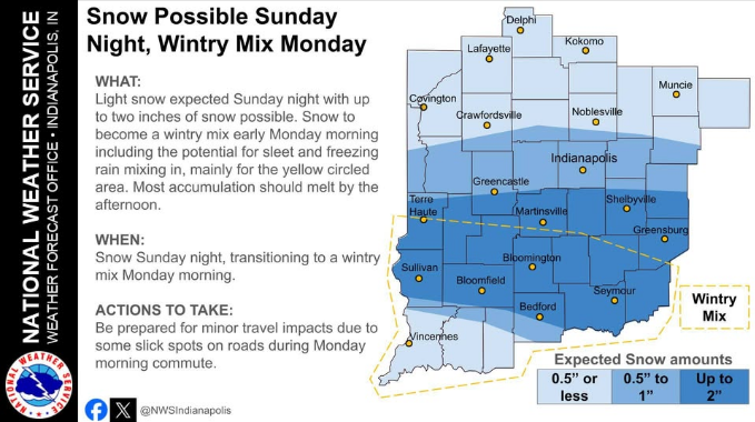
After a messy mix of sleet and light snow on Sunday, Indiana is looking at a rapid temperature spike that could send thermometers into the 70s by the end of the week.
Mike Ryan, a meteorologist with the National Weather Service in Indianapolis, says the shift starts Monday. While the week begins in the 40s, things take a sharp turn by Thursday.
“Beginning Tuesday, we get into the 50s, maybe above 60 down south of Indianapolis, and then really mild for Wednesday through Friday,” Ryan said. It’ll get into the mid-60s to maybe even some low 70s by Friday.”
However, a wetter pattern is moving in, bringing multiple rounds of rain that could dump several inches across the state. Ryan notes that the ground might have a hard time keeping up with the sheer volume of water expected through next weekend.
“Those chances of rainfall really begin as early as Monday night and into Tuesday, and we’ll see on and off threats for rain throughout the rest of the week,” Ryan says. “We could see as much as two or three inches, maybe even a little bit more.”
The focus is shifting from road salt to rising water levels. Ryan warns that while the state won’t see major severe storms, the sheer amount of water could cause issues in low-lying spots.
“We’ll have to monitor as we go through the week because that could introduce some concerns for localized flooding, lowland and drainage areas, and maybe even along some of our creeks and streams as those water levels rise.”
The heaviest rain looks to target central and northern Indiana throughout Wednesday.


