Severe Weather Threat Returns Friday Night
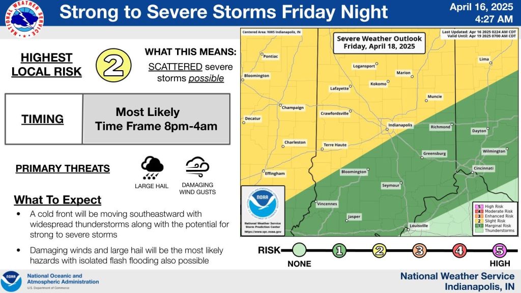
INDIANAPOLIS — Severe storms could hit central Indiana late Friday, with rain likely to linger through Easter weekend.
Damaging winds and large hail are the main threats Friday night as a cold front pushes through. That front may stall near the Ohio River, keeping rain in the picture through Monday.
Some areas could see 2 to 4 inches of rain over the next week, with isolated spots topping 6 inches , raising flood concerns.
Before that, the weather stays quiet. Wednesday will be sunny but chilly, with morning frost possible up north and highs in the low 60s. Winds will ease as high pressure settles in.
Clear skies and calm weather continue Wednesday night, with lows in the 30s and 40s.
Thursday brings increasing clouds, breezy conditions, and a few afternoon showers. Highs will hit the upper 60s.
Friday will feel like summer, with highs near 80 and gusts up to 35 mph. Storms are likely to return late that night and stick around through Easter Sunday and into next week.


