NWS: Severe Weather Possible Across Indiana Wednesday
STATEWIDE–Most of the state could get severe weather today. The National Weather Service in Indianapolis says the big threats to watch out for are damaging winds, isolated tornadoes, and heavy rain at times.
“So we’re talking about Indianapolis, Terre Haute, Bloomington, Bedford, Seymour, and Columbus, those sort of areas. We’re watching the threat of a tornado very carefully,” said Jason Puma, meteorologist with the National Weather Service in Indianapolis.
On Wednesday morning, the threat of a slight risk for severe weather was south of I-70. Around 9 am, that threat was upgraded to nearly the entire state.
A “marginal risk” means isolated severe storms are possible, with the threat of isolated damaging winds, small hail, and maybe a tornado. A “slight risk” ramps up the probability, with more storm reports.
Puma thinks the severe weather threat could be the strongest during the afternoon and evening, but then be gone by early Thursday. He is most concerned about the wind gusts.
“Wind gusts can cause power outages. So we’re talking about trees blowing into power lines and knocking those lines down. If the winds are strong enough, they, alone, can knock the lines down. You should also never take shelter under a tree during a storm because trees are prone to be struck by lightning and they are prone to get hit by high winds. That puts you in a dangerous situation because they can land on you,” said Puma.
If you don’t have a severe weather plan in place, Puma urges you to make one.
“You need to have extra ways to receive weather warning information and review your severe weather safety plan, whether you are at home, work, school, or business,” said Puma.
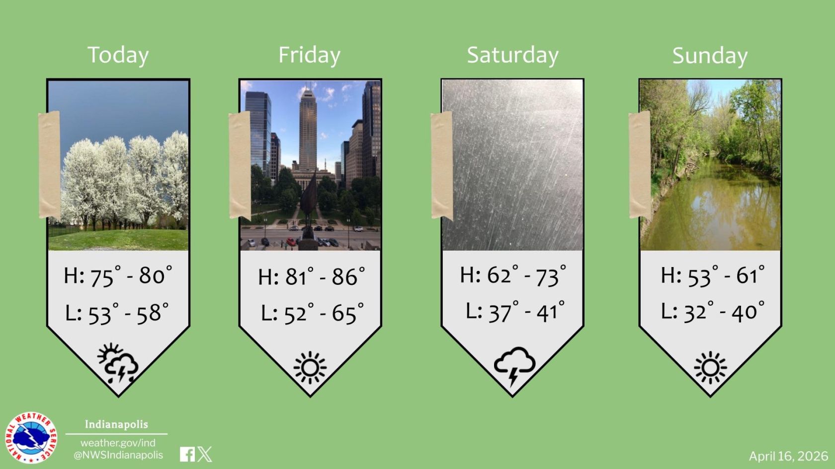
Puma says most places in Indiana will have sunny skies and clear skies on Thursday, but rain is likely to return on Friday.
LISTEN: Full Interview with Jason Puma