Indiana Warms Up After Snow, Rain on the Way
INDIANAPOLIS — After the latest round of wintry precipitation, forecasters say a warmer pattern is setting up across central Indiana.
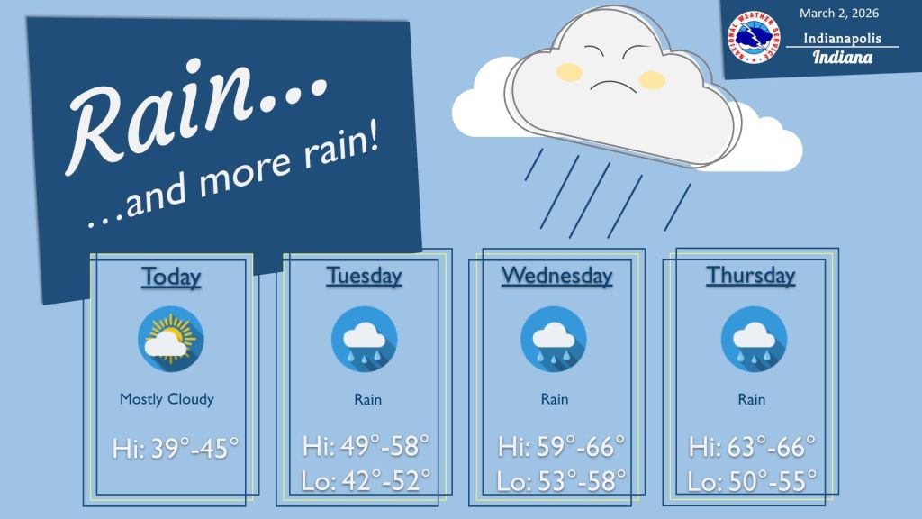
A surge of warm air is expected to arrive Tuesday, bringing a stretch of steady rain through the end of the workweek. The most consistent rainfall is likely Tuesday and Wednesday, with additional chances for rain Thursday and Friday.
Temperatures are expected to climb into the 60s later in the week and could approach 70 degrees by Friday. Some periods of heavy rain are also possible.
“Luckily, this should be it as far as wintry precipitation,” said Aaron Updike of the National Weather Service in Indianapolis. “We’ll see a surge of warm air starting tomorrow, but with that comes a pretty continuous rainy pattern Tuesday through Friday. The most consistent rain looks to be Tuesday and Wednesday.”
Updike said temperatures will remain warm through this week and into much of next week, but changes could arrive later in the month.
“There is some potential as we head into the middle to late portions of March that we fluctuate back,” he said. “It’s a little too early to tell how cold that shift might be, but it doesn’t look like this extended warm stretch will continue through the end of March.”


