Warm Start, Stormy Finish
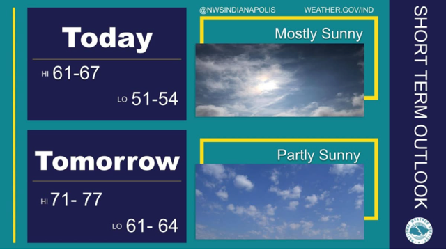
STATEWIDE — Indiana’s weather this week will feature a notable warming trend early on before shifting to unsettled conditions with multiple chances for rain and thunderstorms as the week progresses. After a cool start to the week, temperatures across much of the state will climb into the 60s and 70s, offering a brief stretch of mild spring weather that many Hoosiers will enjoy. This surge in warmth is driven by a shift in the air mass over the region, bringing milder conditions before a stalled frontal boundary moves in later in the week.
By midweek, clouds will begin to increase, and the chance for showers will rise. Showers and thunderstorms are expected Wednesday into Thursday, with periods of moderate to heavy rain possible as that front becomes more organized. Some of these storms could pack bursts of heavy rainfall, and combined with the warm, moist air in place, this pattern could lead to several rounds of precipitation through the end of the week.
Temperatures will fluctuate through this transitional pattern. Highs on Tuesday may reach the upper 60s to around 70 °F before falling slightly on Wednesday into the upper 50s to mid‑60s as rain chances increase. Thursday and Friday look similarly unsettled, with highs generally in the 60s and cooler, wetter conditions as the front stalls across the region. Overnight lows will remain mild early in the week but become cooler later as cloud cover and rainfall develop.
By the weekend, a return to cloudier and cooler weather is likely, with lingering showers possible before a more stable air mass moves in. Overall, this week’s forecast highlights a classic spring weather pattern in Indiana, with a brief period of warm, pleasant weather followed by rounds of stormy and wet conditions as the season continues to transition toward April. Like always April showers brings May flowers.