NWS: Indiana to Experience Warming Trend, Low Humidity
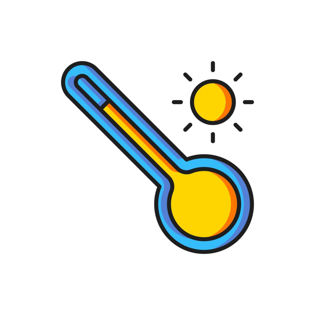
STATEWIDE — You must’ve felt great relief from these cooler temperatures across the state. That will gradually change as the week goes on.
“Indiana is at the beginning of a warming trend.” That’s the message from Matt Eckhoff with the National Weather Service in Indianapolis.
“…which will bring temperatures back to 90 degrees in some places as soon as Thursday or Friday,” Eckhoff says.
He says Monday morning will be the coldest morning of the month so far.
“We’re going to have temperatures in the low 40s, potentially in the upper 30s in some rural areas, inside more urban and suburban metro areas,” Eckhoff says. “Like in Bloomington, you might have mid to upper 40s. It might not cool down as much.”
Temperatures may be increasing as the week goes on, but expect pleasant weather. Eckhoff says humidity and precipitation chances will be low as well.
“We will have mainly sunny skies,” Eckhoff says. “There might be some clouds at times, potentially on Tuesday, but for the most part, partly cloudy skies are anticipated through this week.”
Eckhoff also specified the hottest day of the week, saying…
“It will be potentially Thursday or even Friday; they’re going to be close,” Eckhoff says. “Right now, the state may experience highs in the upper 80s for both days. Highs between 86 and 90 degrees.”
Are there any chances for rain?
“None at all,” Eckhoff says. “There is less than a 10% chance of precipitation in the forecast for the entire seven days.”
- ISP: Indianapolis Man Crashes Stolen Car in Marshall County, Nearly Hits Two Officers
- Former Elkhart Jail Employee Stole $27K from Inmate Accounts
- Update on Indiana Fever Guard Kelsey Mitchell
- Napheesa Collier Claims Engelbert Belittled Caitlin Clark’s Success
- Congressman Shreve to Forgo Shutdown Pay, Donate to Charity