Source: X / @NWS
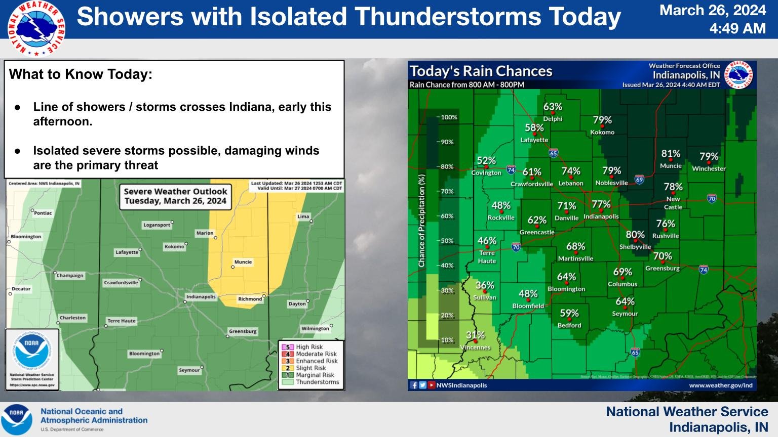
INDIANAPOLIS –Central Indiana faces a “marginal” risk of severe weather this afternoon and evening, with cities in Northeast Indiana, such as Winchester, Muncie, and Fort Wayne, at the highest risk. Winds could gust up to 50 miles per hour across the state.
According to forecaster Jason Puma from the National Weather Service, the northern half of the state will experience more developed storms.
“Today, the primary threat for severe weather will be damaging, straight-line winds,” Puma said. “Essentially, we have a cold front that is going to sweep across the state today, and we are expecting some showers and thunderstorms to develop ahead of that cold front. As it does, some of the storms may become severe, so that’s what we will be watching in the afternoon hours.”
There’s a wind advisory for Central Indiana in place. Puma added that today’s threat is much lower compared to the severe weather we experienced two weeks ago when there was a tornado in Randolph County.
“Remember to stay weather aware today, watch for those watchings and possible warnings, and take action if a warning is issued for your area,” he added.