Source: X / @NWS
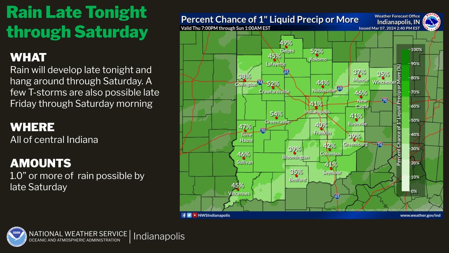
INDIANAPOLIS — Expect light rain and isolated thunderstorms throughout the day and into tonight. The heaviest rainfall is predicted for Friday night into Saturday morning, with Central Indiana likely to receive an inch or more of rain.
Meteorologist Aaron Updike from the National Weather Service warns that the system will bring a surge of cold air, potentially leading to snow showers across Northern Indiana.
Updike explains, “We’re not expecting much accumulation if there is any. Saturday will be cloudy and cool, with highs in the low 40s to upper 30s. However, we’ll see a warming trend from Sunday to Tuesday, with temperatures rising above normal.”
According to Updike, severe weather is unlikely. While lightning and thunder are possible, excessive rainfall poses the biggest threat of the day. He said that as March progresses, the likelihood of winter weather decreases.
“We are looking at a warm-up next week,” he said. “Highs will be back in the 60s by Tuesday and into the 70s by next Thursday.”