This weekend, brace yourself for significant weather shifts.
Indianapolis Weather Swings from Chill to Spring-Like
Source: X / NWS
INDIANAPOLIS –This weekend, brace yourself for significant weather shifts. While today’s temperatures will hover between the mid-40s to low 50s, the forecast takes a dramatic turn come Friday night with a potential for light snow.
“We are going to have another area of precipitation tonight, which should bring rain showers that should then change over to wet snow,” said Forecaster Alex McGinnis. “As we get into Saturday, people could wake up to a thin coat of snow.”
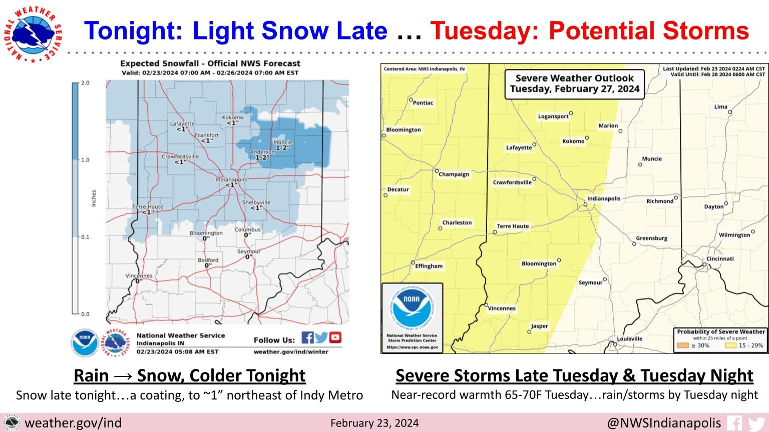
The National Weather Service forecasts over an inch of snowfall for areas north and east of Indianapolis, such as Anderson and Muncie.
“Saturday will certainly be a lot chiller with temperatures only getting into the 30s,” said McGinnis.
Temperatures are expected to rise into the 60s and 70s early next week, indicating the arrival of spring, according to McGinnis.
“Tuesday, I would not be surprised if we had 65-70 degrees across Central Indiana,” he added. “Although that will lead us into chances of rain and storms for the middle of the week.”


