Gusty Winds, 50s Return as Cold Front Sweeps Through Indiana
STATEWIDE — Saturday’s conditions were pretty intense, but it may ease up.
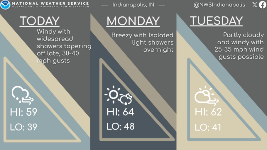
“Indiana is expecting much more autumn-like weather this week.” That’s the message from Joe Nield. He is a meteorologist with the National Weather Service in Indianapolis.
High temperatures are dropping hard, going into the 60s early on, and then likely hitting the 50s by mid-week as another cold front sweeps through.
Nield says a cold front could form Monday into Monday night with a very low chance for showers, but definitely not as intense as this past Saturday’s storms. For the most part, dry weather is expected for this week.
“We’re in quite a progressive pattern right now, so things are kind of changing relatively rapidly,” Nield says. “Looking at gusts here in the metro area, maybe 20 to 30 mph during the peak hours of Monday afternoon.”
Nield says to not worry about keeping your umbrella handy this week as the chances for rain and storms are staying really low, especially late Monday and again around this coming weekend. Be ready for the wind though.
“Maybe 30 to 35 miles per hour on Tuesday, and for Wednesday, 25 to 30,” Nield says. “The state is going to be a little bit breezy at times. Take some of these leaves off the trees that have been hanging on for dear life.”