Heat Advisory in Indiana, Cooler Weather Coming
INDIANAPOLIS — A heat advisory is in effect until Wednesday night.
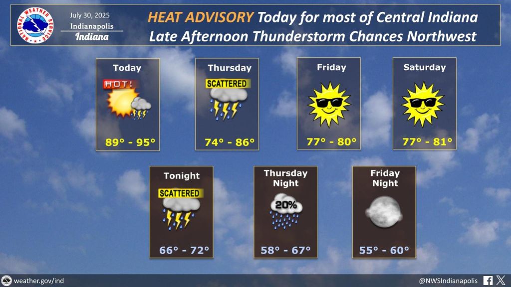
Central Indiana will experience one more hot and humid day, with highs in the low to mid-90s and heat indexes ranging from 101 to 105. Southern Indiana is also under the advisory.
A few storms could develop late Wednesday afternoon in northern Indiana, but most of Central Indiana should stay dry.
A cold front arrives Wednesday night, bringing scattered showers and thunderstorms along and north of Interstate 70. The state has a low risk for severe storms, with damaging winds the main concern. Heavy rain and isolated flooding are possible overnight.
Thursday will be cooler as the front moves through. Expect on-and-off showers through midday, with highs in the mid-to-upper 70s.
Friday and the weekend will bring below-average temperatures, lower humidity, and plenty of sun.
Early next week looks warmer and muggier again, with daily rain chances on Monday and Tuesday.


