Heat Index Near 105 Across Indiana Today
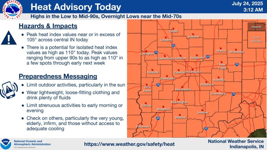
INDIANAPOLIS — Today’s shaping up to be the hottest and stickiest day of the week across Indiana, with highs in the mid-90s and the heat index making it feel more like 105.
A heat advisory kicks in at 11 a.m. for just about the whole state.
It’ll be quiet and mostly clear to start the day, so your morning commute should be smooth. But once the sun gets going, it’s going to get uncomfortable. If you’re spending time outside today—especially if you work outdoors—make sure you’re drinking plenty of water and finding some shade when you can.
Tonight, we could see some scattered showers or storms—mainly up north. It won’t cool down much, either. Overnight temps will hang out in the mid-70s, and the air’s going to stay thick and muggy.
The heat isn’t going anywhere fast. Friday and Saturday both bring highs in the low 90s, with more heat index readings near 100. Storm chances will go up each afternoon and evening. They won’t be widespread, but some could bring gusty winds and heavy rain.
Sunday? Same story. Still hot, with slightly lower chances for storms, but the ones that do pop up will probably show up during the hottest part of the day.
Looking ahead to next week, the 90s stick around through at least Wednesday, with a few chances for pop-up storms. A break from the heat might be on the way late next week as cooler air drops in from Canada.


